Along the River
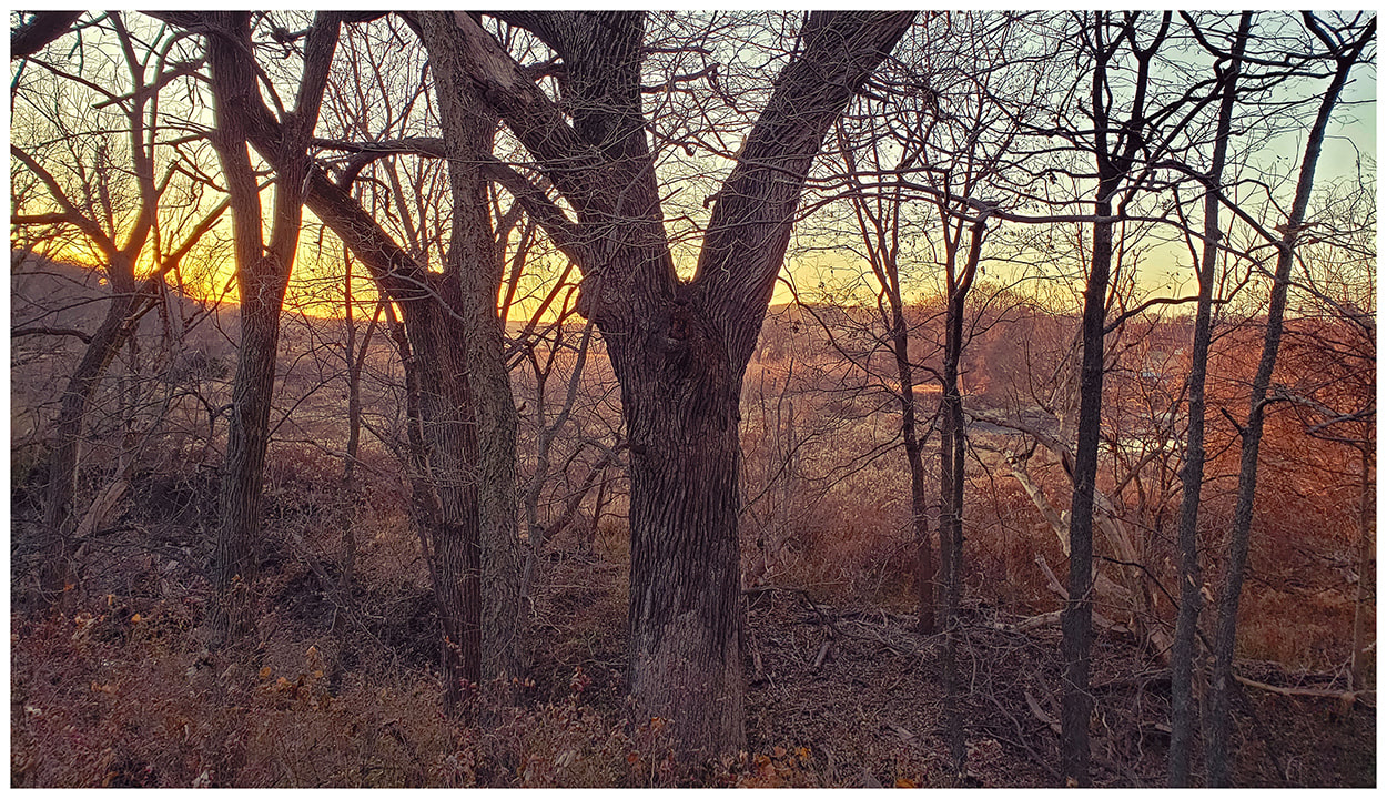
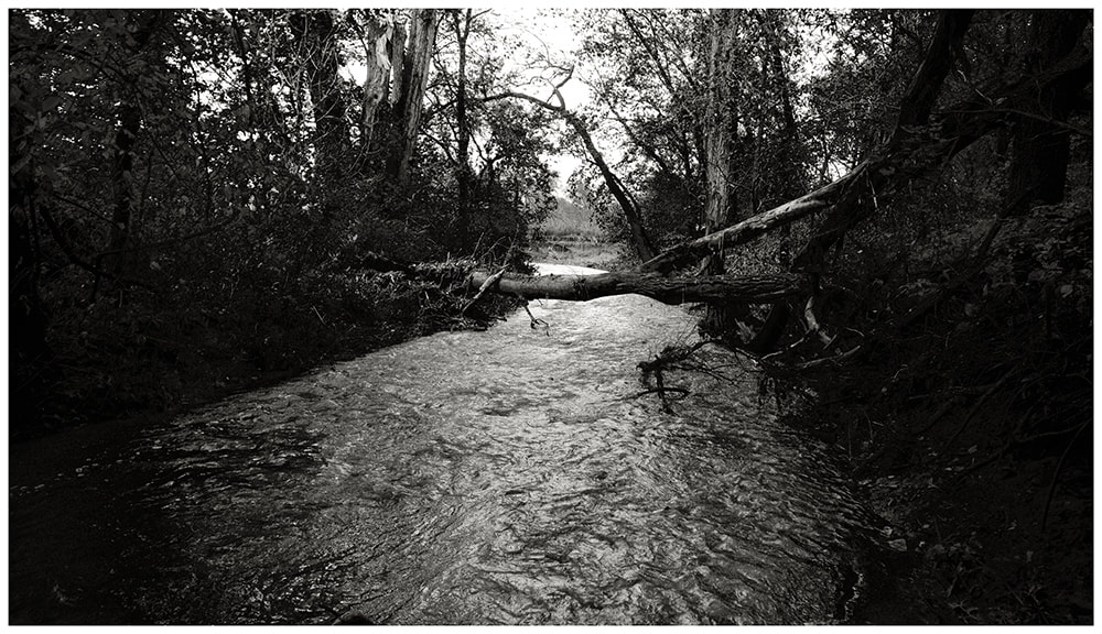
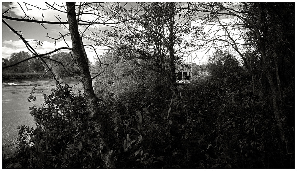
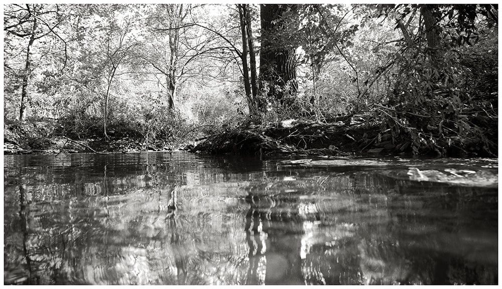
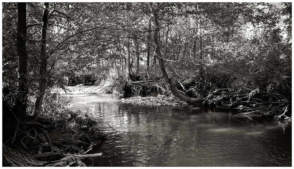
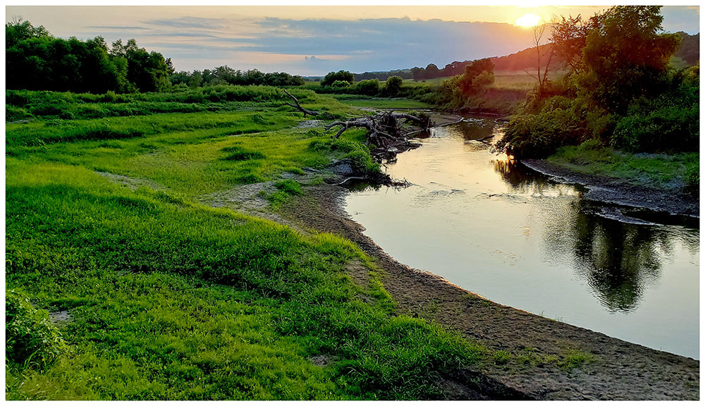
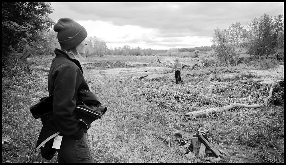
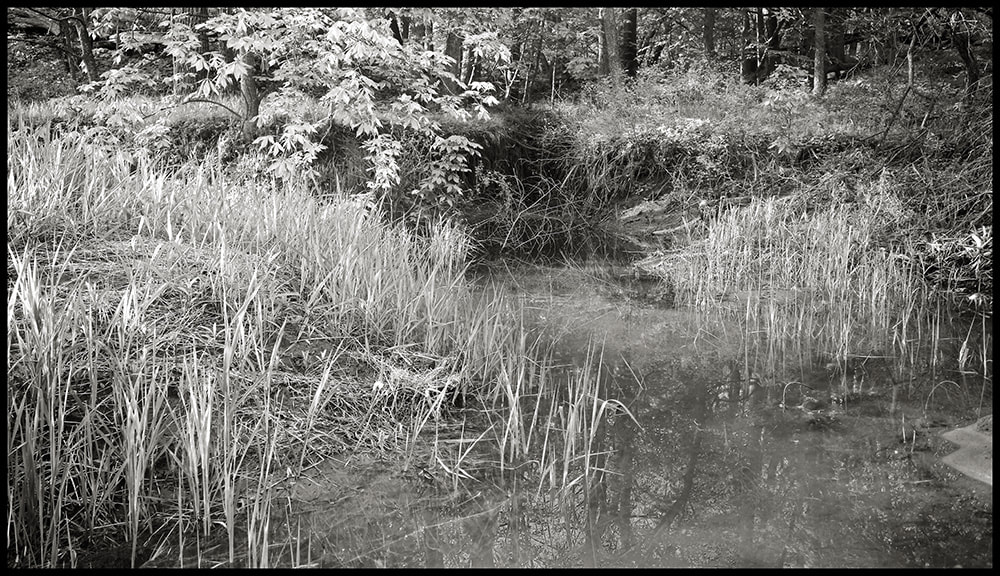
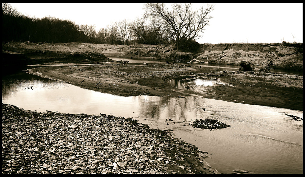
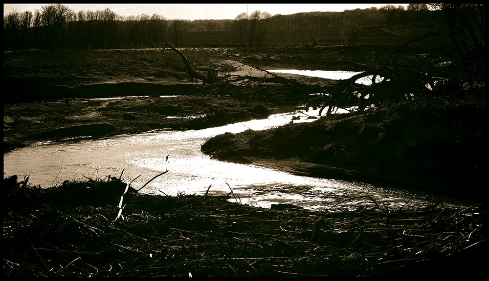
We have been including images of the Middle River long the western edge of Westbrook in different locations on the website. Including images of the creeks leading directly to the river we will now group these images here. The river is linked to the land use, water and soil issues, and recreation. Settlers relied on the river for the energy to build grist mills. The historic Buffalo mill was just about a mile down stream from the WAS. People would wait in lines to get their grains processed at the mill. A thriving community sprung up in by the mill, but disappeared with the mill.
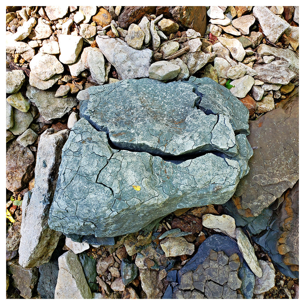
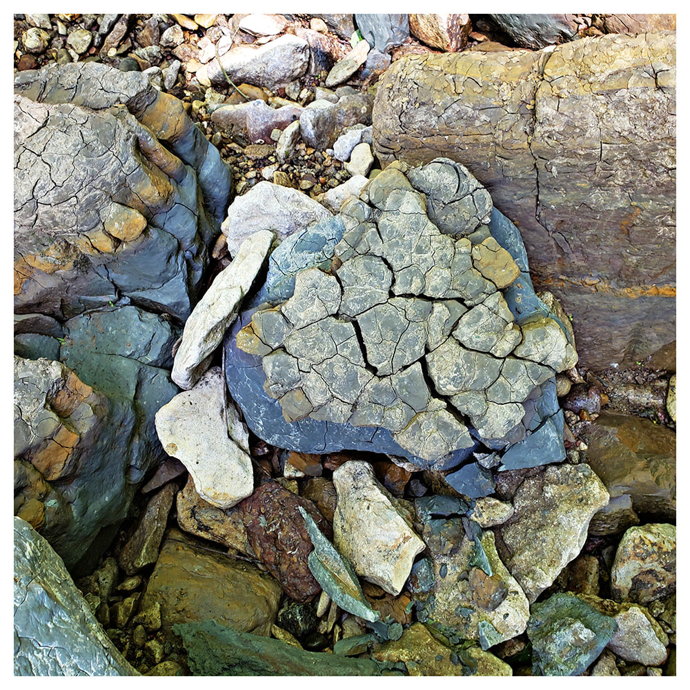
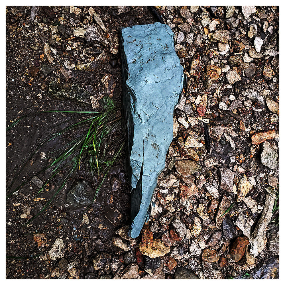
Clay kicked out by rain drying on the bank
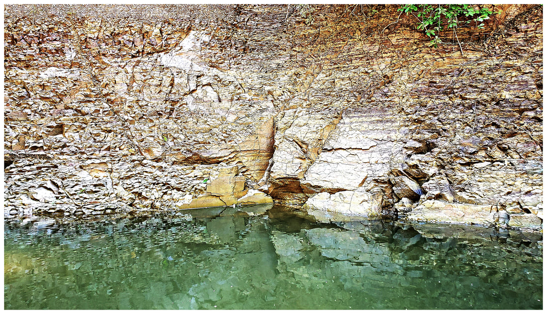
Red/Green Clay wall along the creek 06/04/20
05/26/20 - Creek crossing into River Field.
05/26/20 Green clay kicked out by heavy rain.
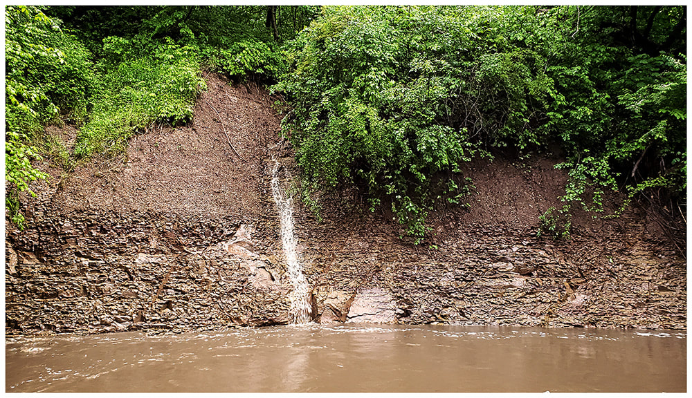
05/26/20 Waterfall down red clay hillside into creek at WAS.
Across from the Beaver Oxbow 12/12/19
View of River Field (11/23/19)
"Bridge" along creek 10/05/19
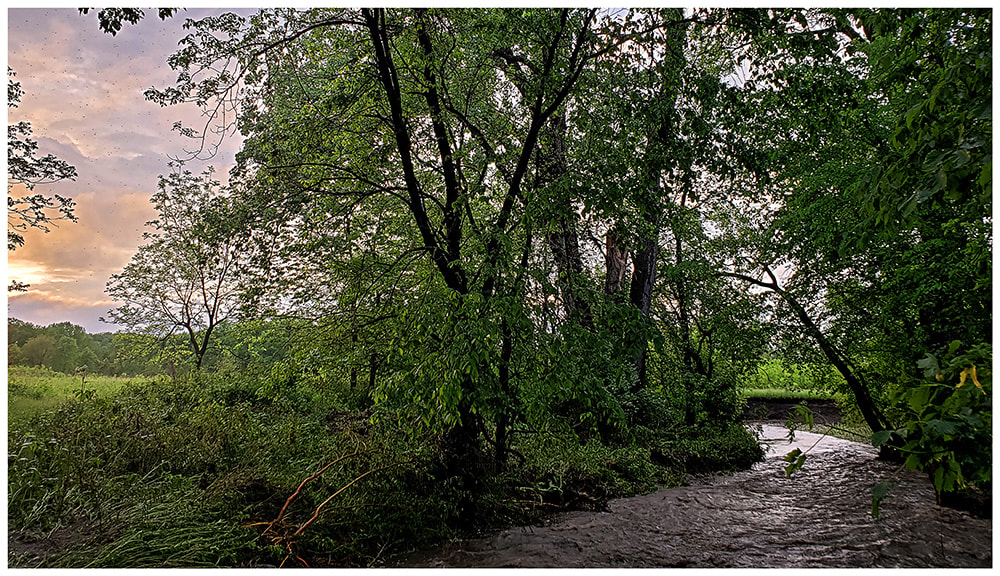
HIgh water on Middle River (with River Pyre)
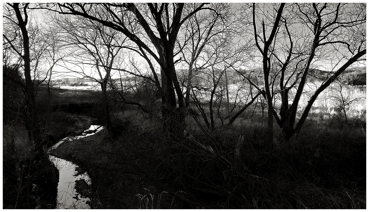
10/03/19 - Creek
08/10/19
05/11/19 At the Middle river "west bend" edge of WAS
Base of slope at WAS leading to the Middle River
New bend in the river 4/20/19 created by eroded bank and downed trees across from WAS.
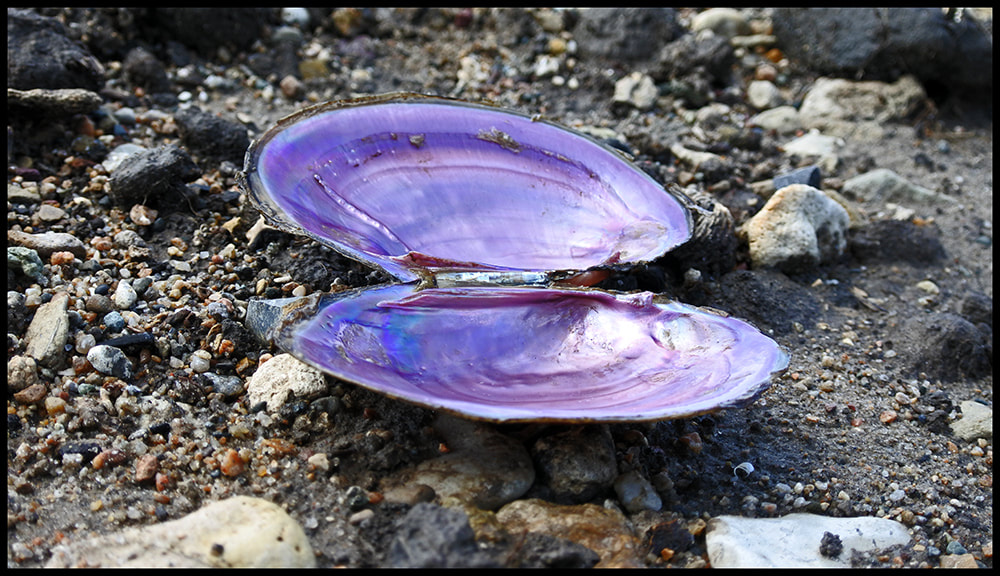
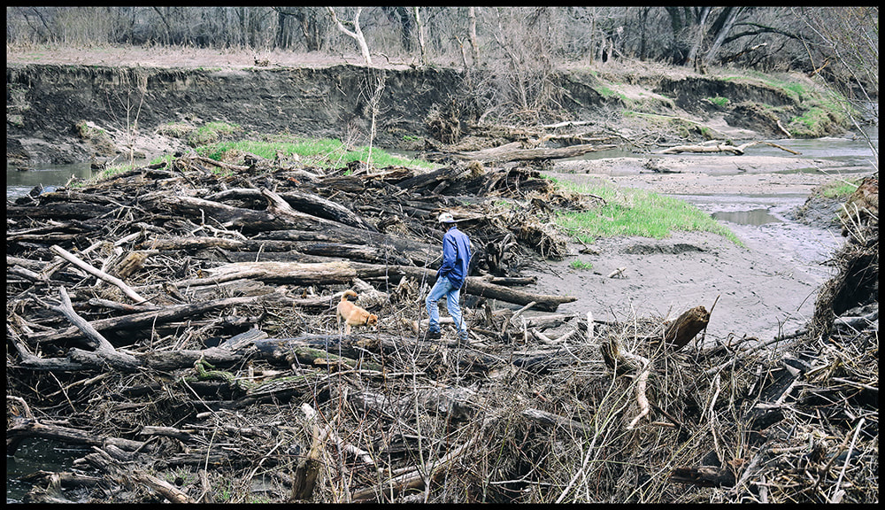
4/07/19 Brightly colored clam shell and Neil walking along the snag island
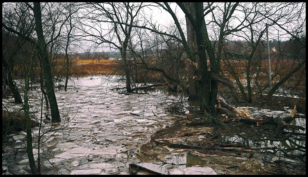
WAS - Creek overflowing near river
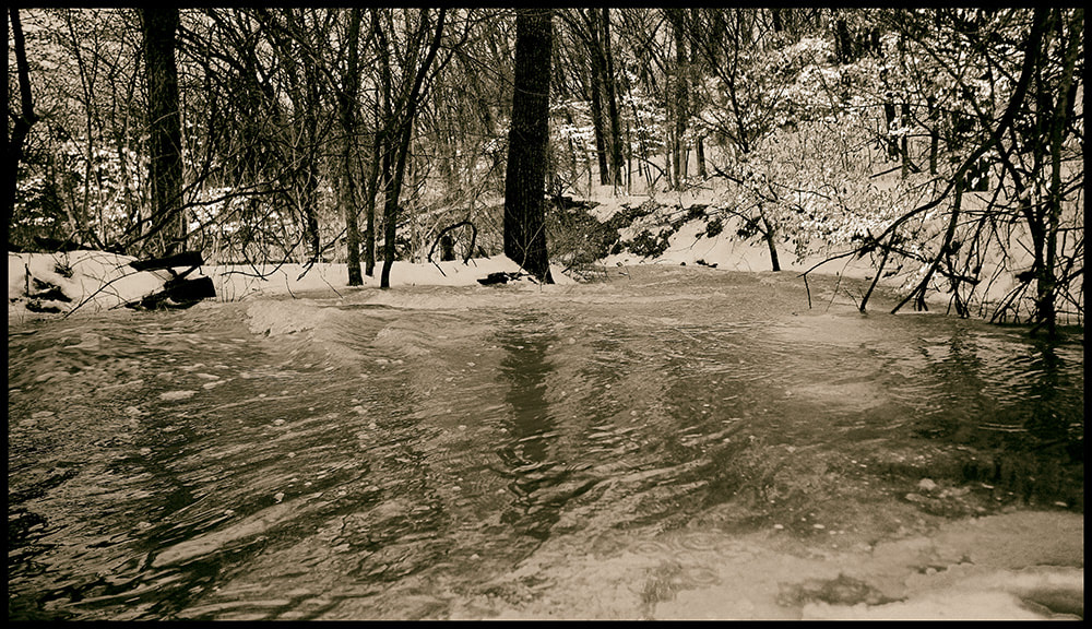
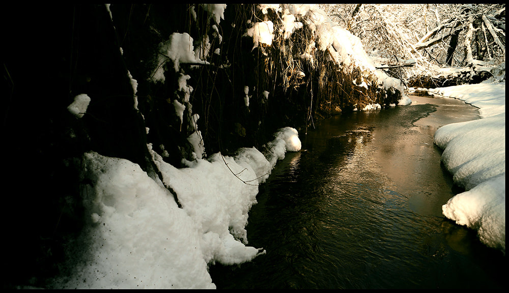
WAS - Creek during snow melt 03/09/19
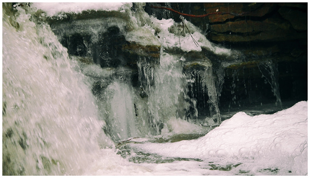
WAS - Waterfall during snow melt 03/09/19
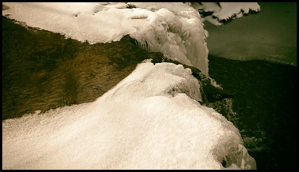
02/07/19 - Creek tributary to the river with fall
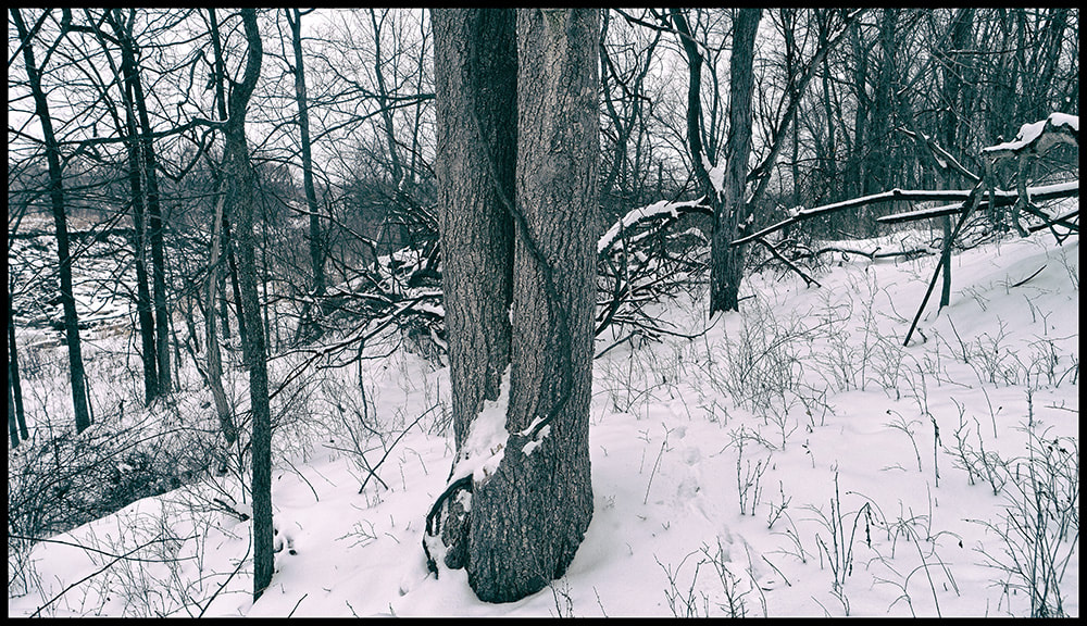
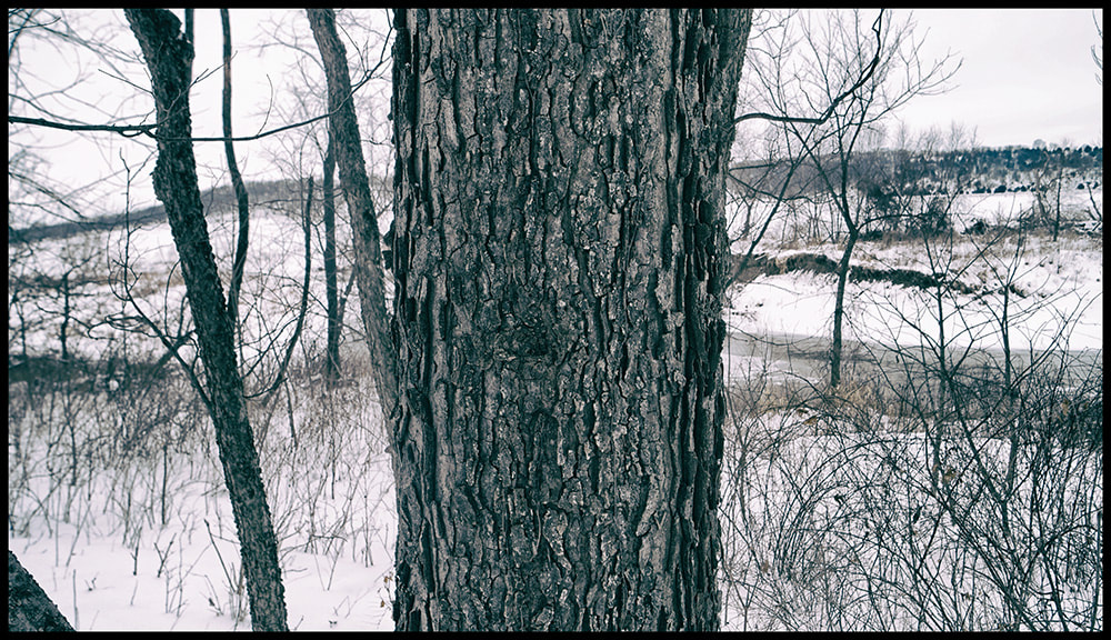
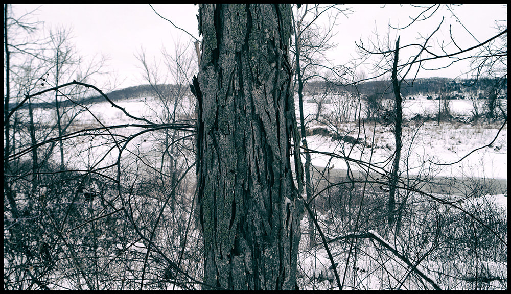
Along the river (top) large Buckeye (lower left) large Hackberry, this is one of the largest with flatter, less distinct bark we have at WAS (lower right) Shagbark Hickory 01/19
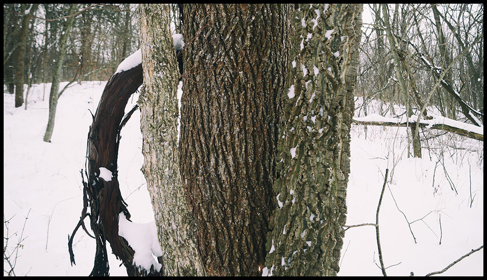
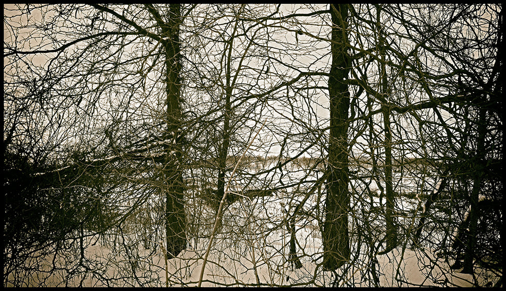
Left to right - wild grape vine, Buckeye, Elm and Hackberry in close quarters. 01/19/19
The most robust wild grape vine is 5" in diameter and roughly 40 feet tall.
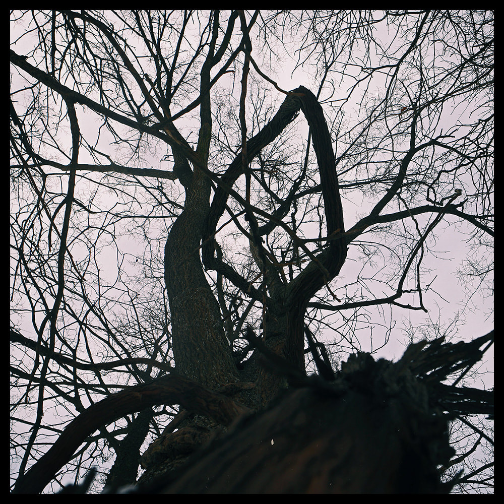
WAS 01/19/19 - Honey Locust with thorns (left) and Honey Locust without thorns right at the river's edge.
WAS 01/13/19

