Prescribed burns as Westbrook Artists Site 2017 -
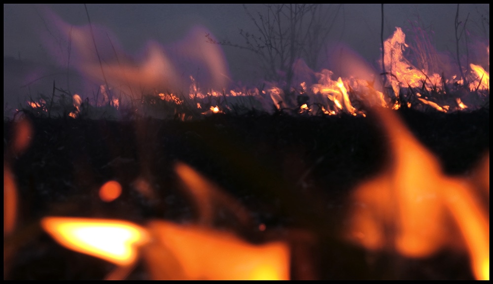
BURN 4/8 We are about to start the lower field ETB 9:35am and look to burn other field this evening if wind dies down.
BURN PLAN - 4/8 After a lot of rain we have had good drying weather and we are going to burn starting in the morning around 9am. We will gather at the barn and burn of the lower fields visible by the road to start the day off. Please contact for more info [email protected]
Burn updates - Foggy, overcast... not going to dry things out from rain last couple of days so no burn today (3/26). We will still look for opportunities this spring. Most likely 4/8 but will update.
Rain forecast for tomorrow but could be still able to burn on Sunday. Most likely in the early to mid-afternoon.
We are gearing up for burn next weekend. On Friday (3/17) some St. Patty's Day spirit created some containment issues for us. We got some help and got things resolved. The outcome being a lot of time mopping up snags the last couple of days long the woodland edges from the burn field.
(3/16)
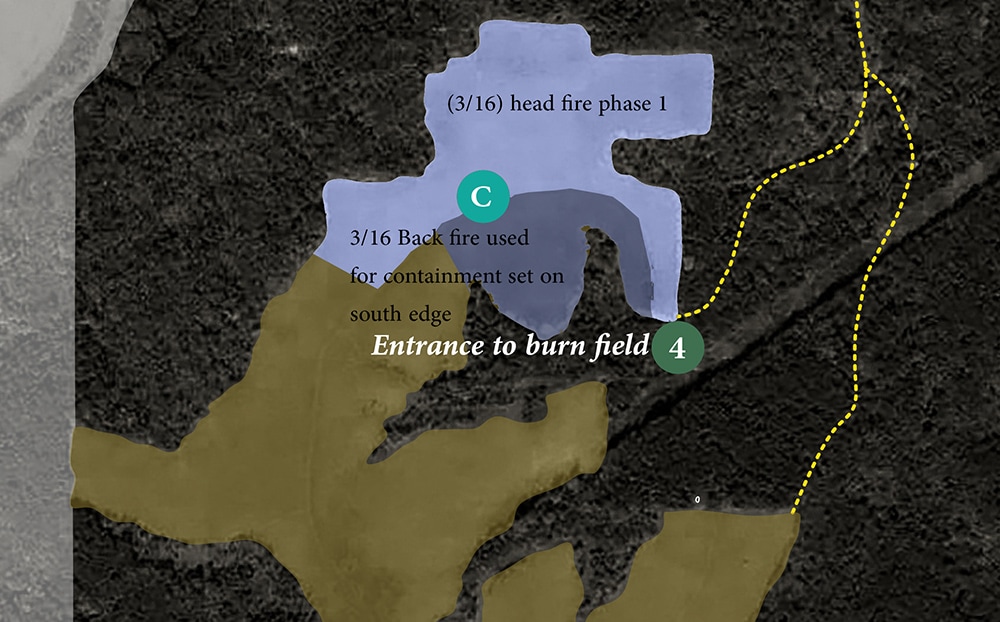
Sorry for the gap in information. There has been some technical issues. We did do the first phase of the burn on 3/16. We are planning for a second burn on 3/25 (Saturday) and back up plan 3/26 on other fields. We will posting more on the burn results.
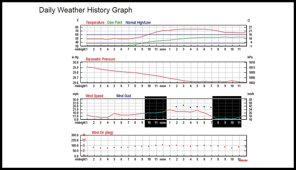
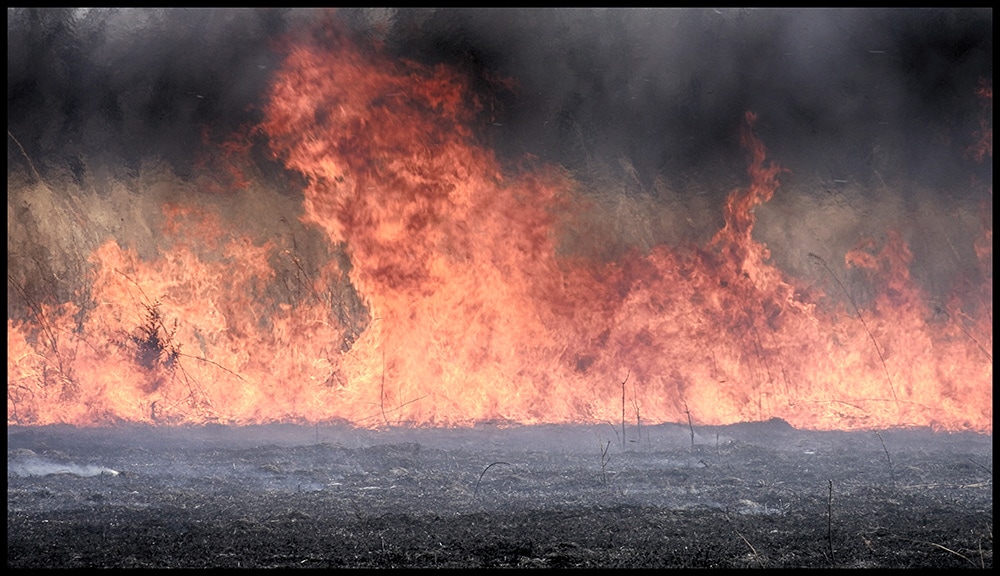
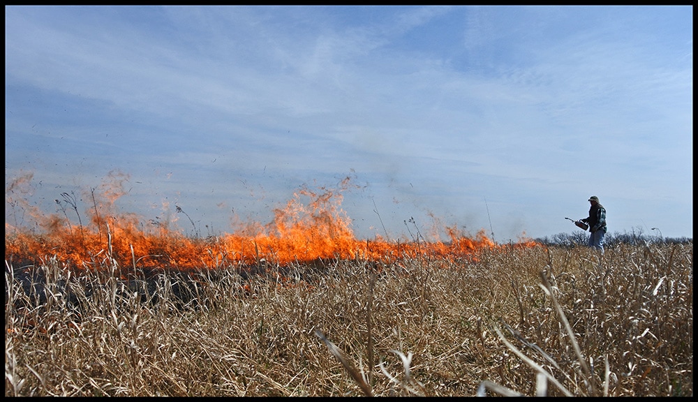
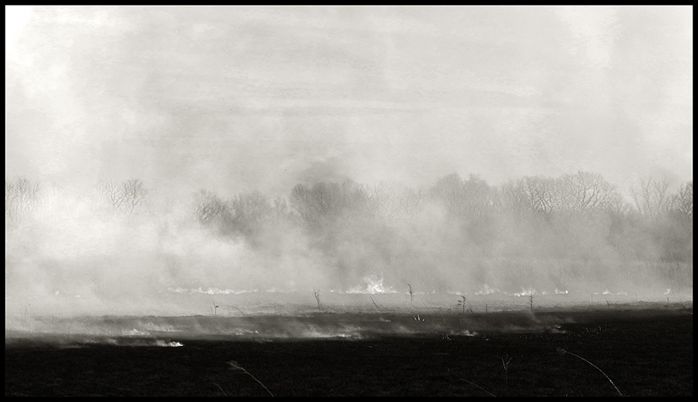
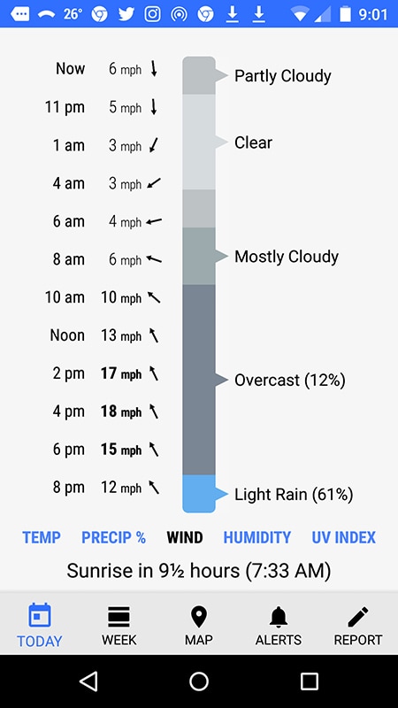
The key to the burn 4/8 on the Field Chapel Field and Lower CRP Field were the wind conditions. High winds were predicted and made a burn unlikely. The wind speed from the weather chart for 4/8 (above) shows the two times we burned during the day. The Field Chapel is low ground along the river and the wind speed was reduced. A strong wind from the south but also gusty and swirling were less than ideal but proved manageable. We waited to see about burning the lower field later in the day and the wind unexpectedly dropped greatly at dusk allowing for the us to burn. At the high point of the field along the road wind still whipped up at times.
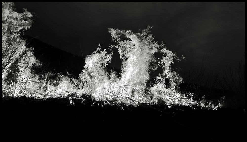
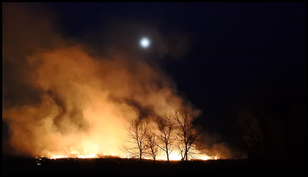
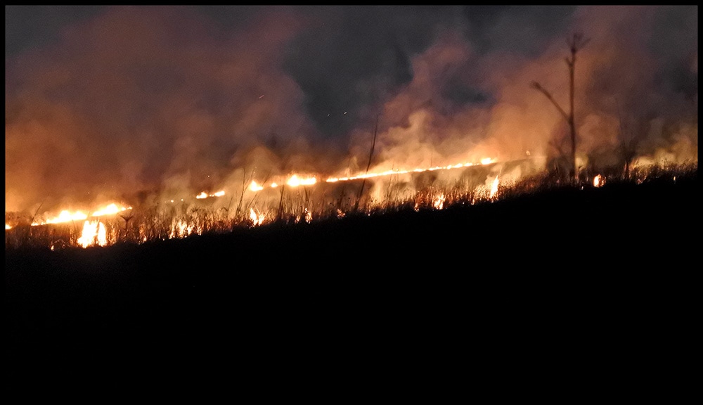
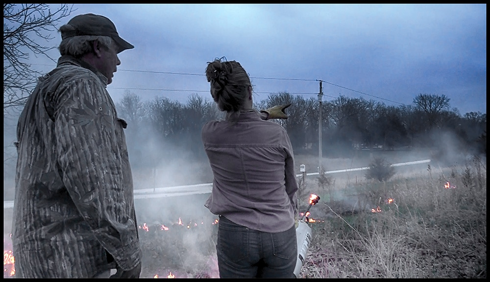
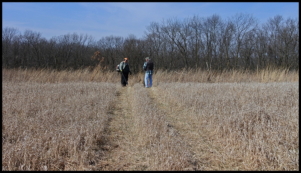
Darrell and Cheri in action on the lower field.
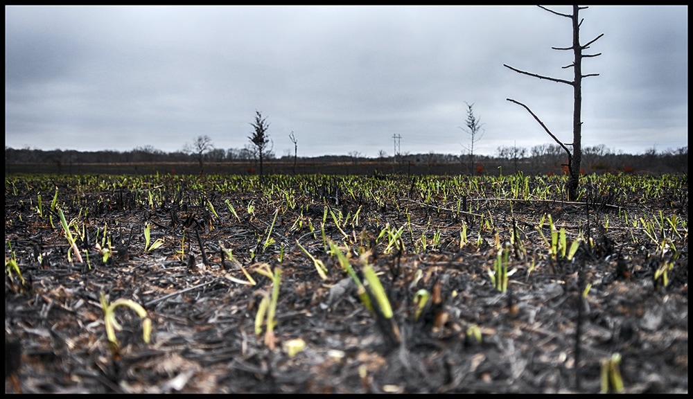
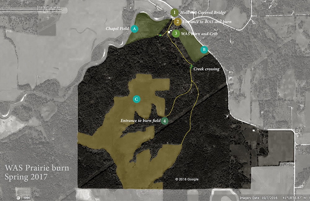
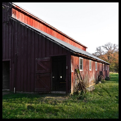
We have burned about 2/3 of the large prairie plot. We now are planning on the lower field this spring. We hope to burn in March 25th and will provide update on time and date as time as we close in. People are invited to watch or pitch in to the effort. We will gather at the barn (entrance to barn right next to the east entrance of the Holliwell Covered Bridge) and deploy to the fields. Maps and info will be available at the time of burn. If you arrive later when we have already left the barn you can go to the barn and get materials and directions to where we are at that time. Please feel free to contact [email protected] with questions.
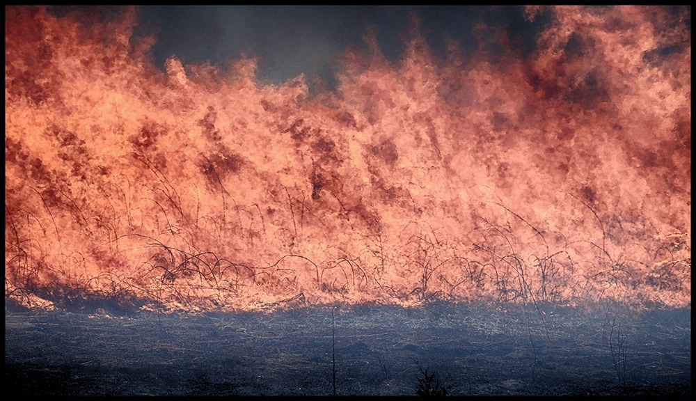
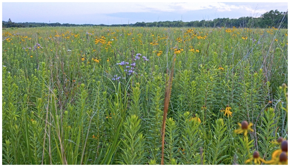
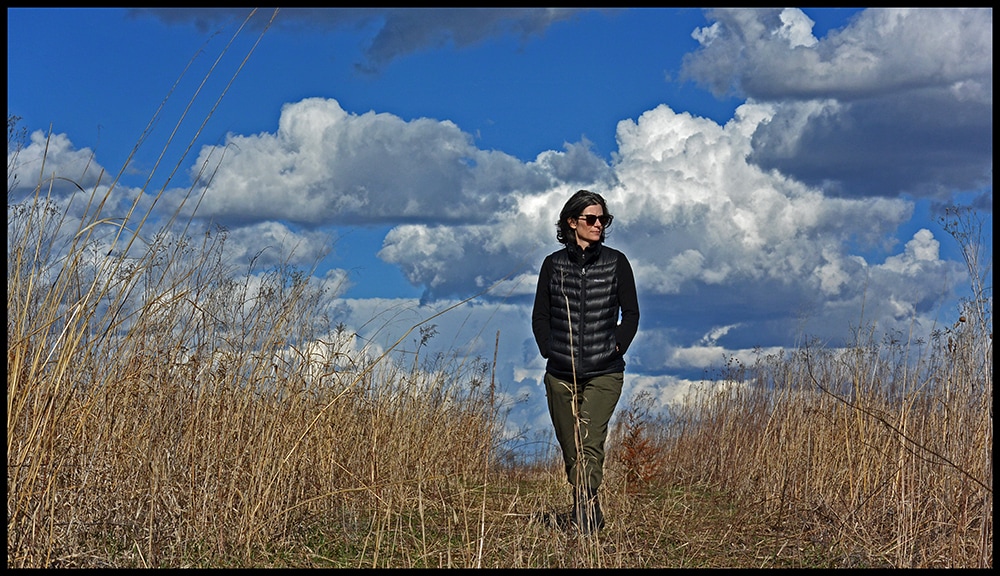
The large field (pictured at top of page and below aerial from Google Earth (top picture is image taken while on the blue path at the very edge of the field and woodlands) takes a little bit of work to get to. The road up the hill through the woods is very rough and not recommended for even trucks unless one is skilled in such drives. It is about a 5-8 min walk up the hill. We can also drive up any equipment so it will just be individuals on foot OR you for some you could go in the back of our pick-up. This is just true to life Iowa landscape not a park. The lower fields may or may not be burned this week are easily visible and accessible.
We have equipment; however, if you are interested in participating in burn and have your own equipment please bring it along. It is hard to know how far our equipment will go with others.
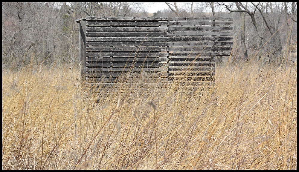
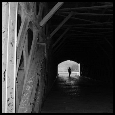
The Holliwell Covered Bridge (east end) is next to the entrance to WAS. The barn and corn crib are main areas for gathering prior to going to burn fields.
|
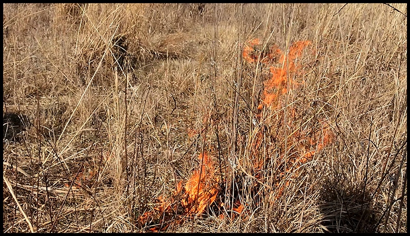
Weather is a key part of the art of the burn. We are hoping to have a light wind from the Southwest to manage the fire. Standard burn conditions include air temperature of 40 -70 degrees, relative humidity 30% to 60%. Soil damp to touch and steady wind speed between 5 and 15 mph.
A really nice app for weather is "Dark Skies." It provides "hyperlocal" weather conditions. When it is says "snow about to start" it is about to start. The wind speed is really easy to access. I have used a handheld device but it stopped working and I need to figure out how to get it fixed. It was not cheap and the Dark Skies does a really nice job. You can also sign up to the weather underground and get your forecast e-mailed to you. The site is good for historic information too. It is amazing local news stations still provide us "the weather." |

